+1 (888) 555-ARCUS info@arcuscad.com
Mon-Fri: 8:00 AM - 6:00 PM EST
Our Journey

Empowering US Surveyors Since Inception

ArcusCAD was founded to address a critical bottleneck faced by licensed land surveyors and engineering firms across the United States: the massive backlog of field data waiting to be drafted into final delivery drawings.

By providing reliable, high-precision, and cost-effective CAD drafting solutions, we enable surveying firms to keep their crews active in the field and focus on client relationships while we handle the heavy technical drafting workload overnight.

Today, ArcusCAD is a trusted operational partner to over 100+ surveying and engineering companies nationwide, utilizing standard-compliant workflows to process thousands of plats every month.
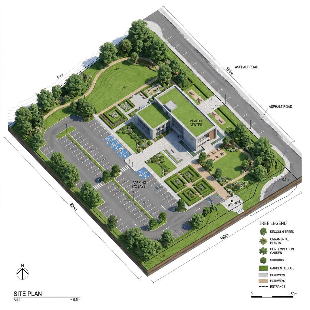

ArcusCAD 3D Site Survey Plan
Our Mission

To Empower Surveying Professionals

"To empower land surveying professionals with exceptional drafting support, enabling them to deliver superior results to their clients while optimizing their operations."

Our Vision

The Industry Gold Standard

"To be the most trusted drafting partner for land surveyors across the United States, recognized for absolute precision, fast turnaround, and seamless workflow integration."

Our Principles

Core Values

Accuracy First

Every line, every coordinate point, every measurement, and every detail matters. We double-check drawings using stringent checklists.

Uncompromising Reliability

Consistent quality and guaranteed on-time delivery. We operate overnight to deliver standard residential plats in 24–48 hours.

Collaborative Partnership

We view ourselves as an extension of your team. Our success is entirely tied to the productivity and success of your land surveying firm.

US Surveying Standards
Why We Focus on US Surveyors

Deep Understanding of US Surveying Standards

Different states have diverse boundary regulations, plat drawing guidelines, and label formatting expectations. ArcusCAD excels because our specialists undergo rigorous continuous training in:

  • State-Specific Requirements: Metes and bounds plotting, lot/block labels, easement definitions.
  • ALTA/NSPS Specifications: Precise compliance with commercial survey requirements.
  • Local Municipal Codes: Building setbacks, flood elevations (FEMA certificates support), zoning overlaps.
ArcusCAD Asssitant
Online
Hello! I'm your ArcusCAD assistant. How can I help you stream-line your land surveying drafting workflow today?