ALTA/NSPS Land Title Survey
Compliant commercial land title surveys, Table A options mapping, and Schedule B title exclusions plotting.
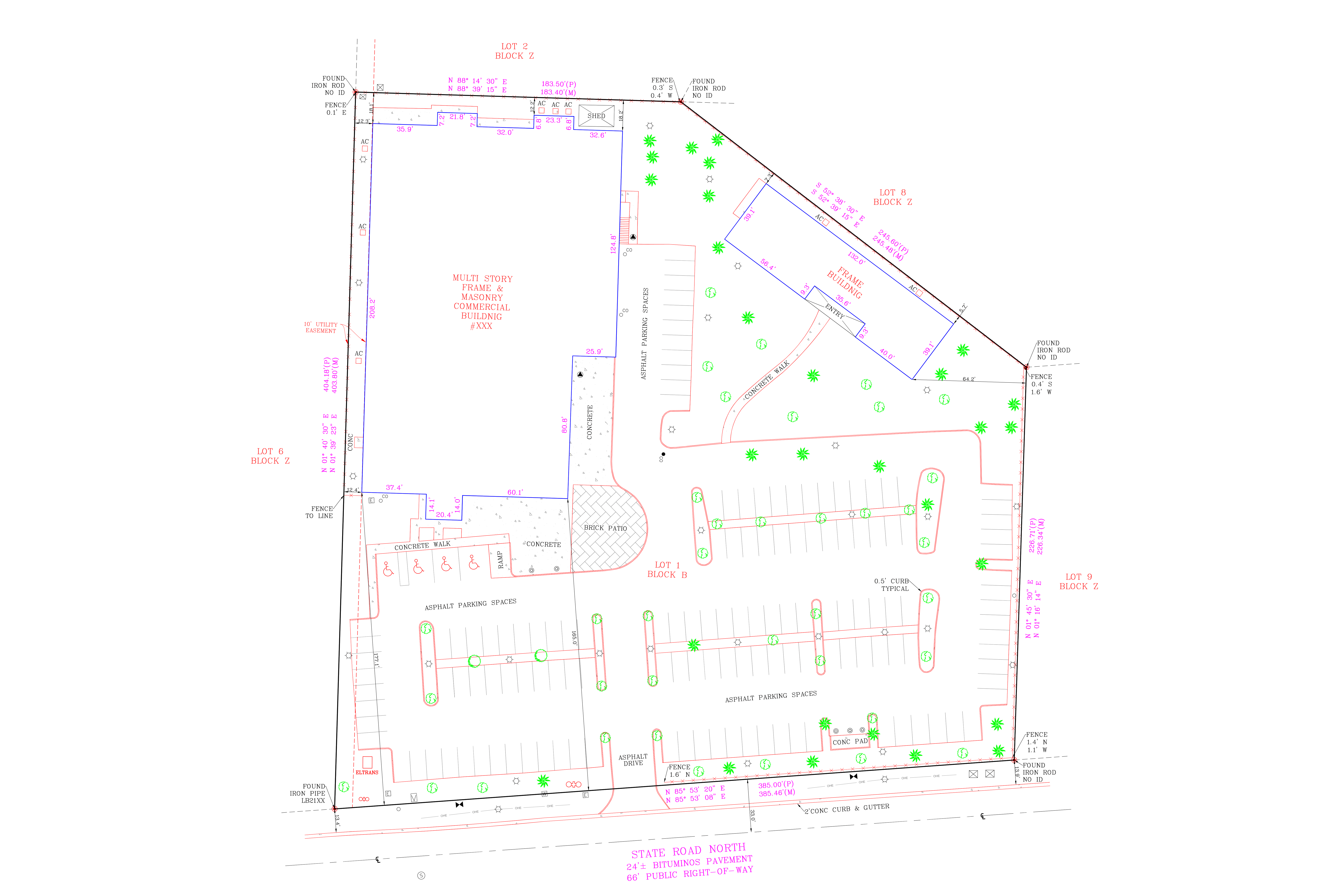
Compliant commercial land title surveys, Table A options mapping, and Schedule B title exclusions plotting.
ALTA/NSPS Land Title Surveys leave no margin for error, since they are relied on by lenders, title companies, attorneys, and buyers to make significant financial decisions. ArcusCAD builds every ALTA drawing to current ALTA/NSPS standards, with careful attention to the notation, certification language, and formatting conventions these surveys demand.
Our drafters are familiar with the Table A optional items commonly requested on commercial transactions, and we work closely with your surveyor to make sure every requested item is addressed accurately rather than assumed. Because ALTA surveys are often tied directly to closing dates, we build in extra quality checks up front so your firm is not chasing last minute corrections.
Request Quote