Boundary Survey Drafting
Defensible property line vectors, deed overlays, monumentation annotations, and submission-ready survey plats.
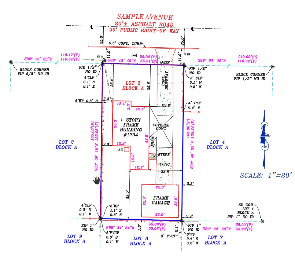
Defensible property line vectors, deed overlays, monumentation annotations, and submission-ready survey plats.
A boundary survey defines the legal limits of a property, and getting it wrong can delay a closing, trigger a dispute, or send a project back to the field. ArcusCAD converts deed research, recorded plats, and field monumentation into legally sound, defensible boundary drawings that are cross-checked against title reports and adjoining parcels before they ever reach your desk.
We understand that a boundary drawing is only as good as the research behind it, so our drafters take the time to trace deed history, review prior surveys, and reconcile any inconsistencies before a single line is plotted. The result is a drawing your firm can stand behind, whether it is used for a simple property line confirmation or as evidence in a formal boundary dispute.
Request QuoteWe parse total station raw coordinates files to accurately construct lines matching your description keys.
We trace historical records, easements exceptions, and setbacks on top of the boundary vectors to ensure no missing overlaps.