Topographic Survey Drafting
High-accuracy elevation mapping, contour interpolation, surface feature layouts, and downstream integration.
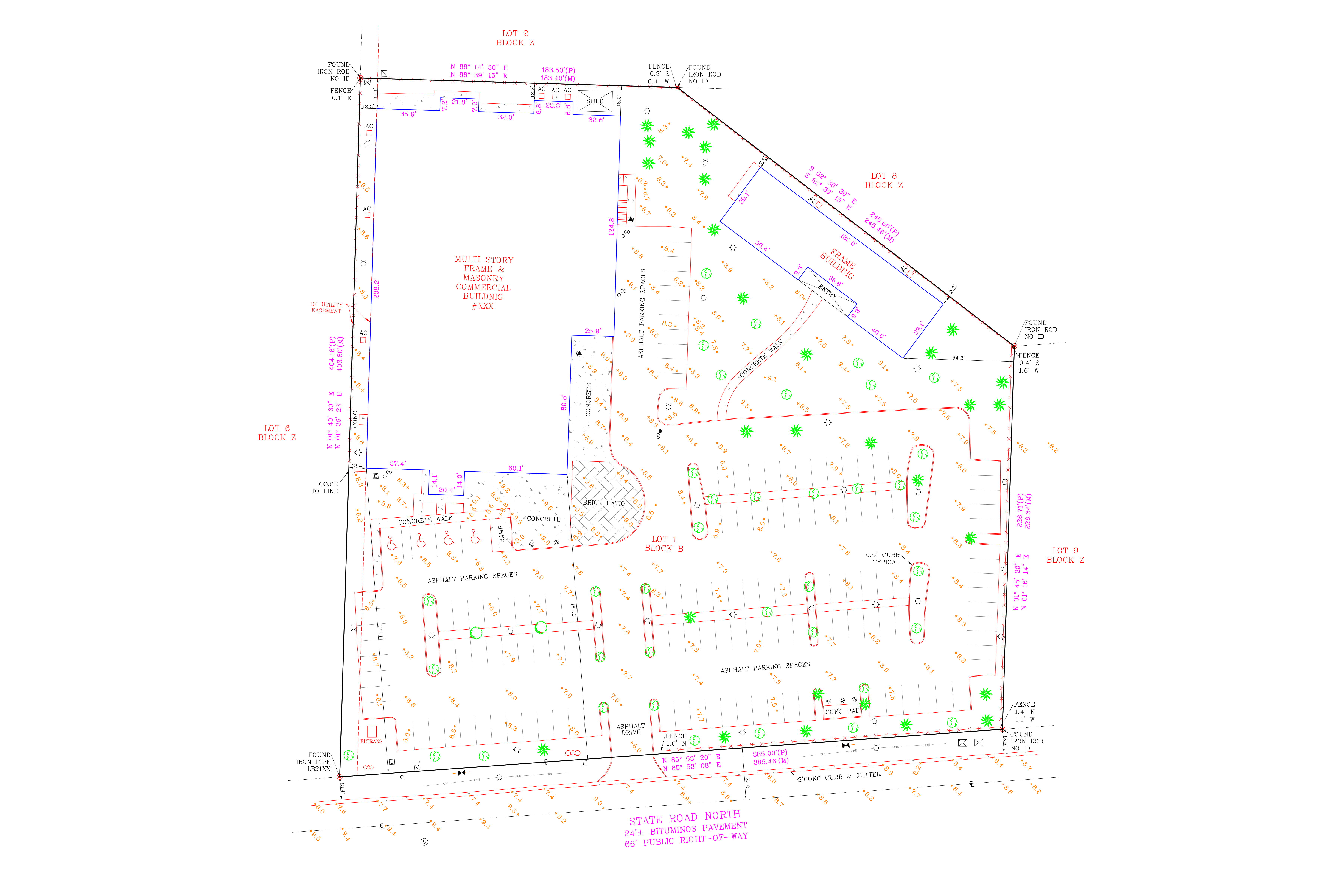
High-accuracy elevation mapping, contour interpolation, surface feature layouts, and downstream integration.
A topographic survey is the foundation that engineers, architects, and planners build on, so accuracy in the contours and surface data matters as much as accuracy in the boundary. ArcusCAD turns elevation shots, breaklines, and surface data into topographic drawings your engineering team can design from immediately, whether the project involves a small residential lot or a large commercial site with complex grading needs.
We pay close attention to how contours interpolate around structures, drainage paths, and site features so the finished drawing reflects the real conditions on the ground rather than a rough approximation. Because topo surveys often feed directly into grading, drainage, and utility design, we build every drawing with the next phase of the project in mind.
Request Quote