Defensible property boundary plats, ALTA/NSPS title surveys, and topographic contour maps processed from raw field coordinates files.
Read MoreSubdivision layout design, grading, stormwater drainage plans, utility networks, and road improvement packages ready for permit submissions.
Read MoreWater distribution layouts, sanitary gravity sewers, storm piping networks, fire lines, and comprehensive underground utilities clash reviews.
Read MoreSchematic concepts, complete construction documents (CD) sets, building codes permit packages, and 3D CAD-to-BIM Revit conversions.
Read MoreParametric 3D part models, 2D shop drawings, exploded assembly views, Bills of Materials (BOM), reverse engineering, and legacy digitization.
Read MoreArcusCAD serves as an extension of your office. While your crew collects data in the field, our team drafts to your exact standard guidelines overnight.
Deep understanding of state-specific guidelines, boundary logic, and ALTA/NSPS rules.
Overnight drafting ensures you deliver projects to clients ahead of schedule.
Reduce overhead costs significantly compared to hiring in-house draftspeople.
Every drawing passes through a senior surveyor checklist reviews before dispatch.
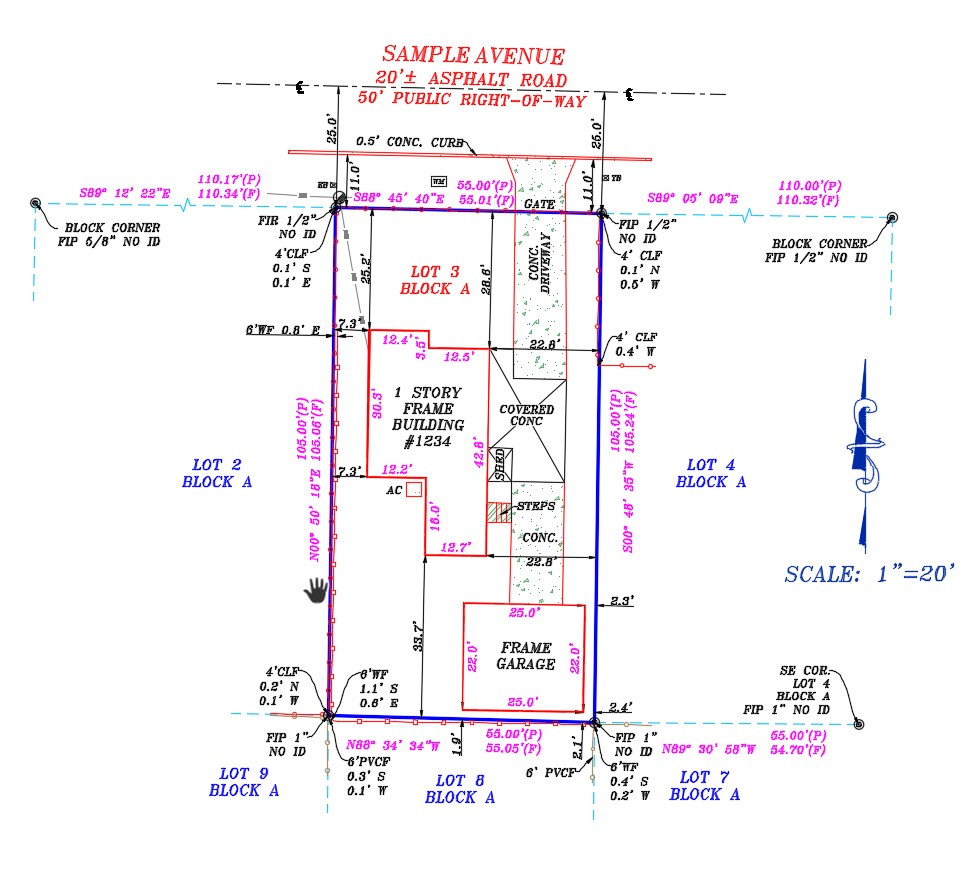
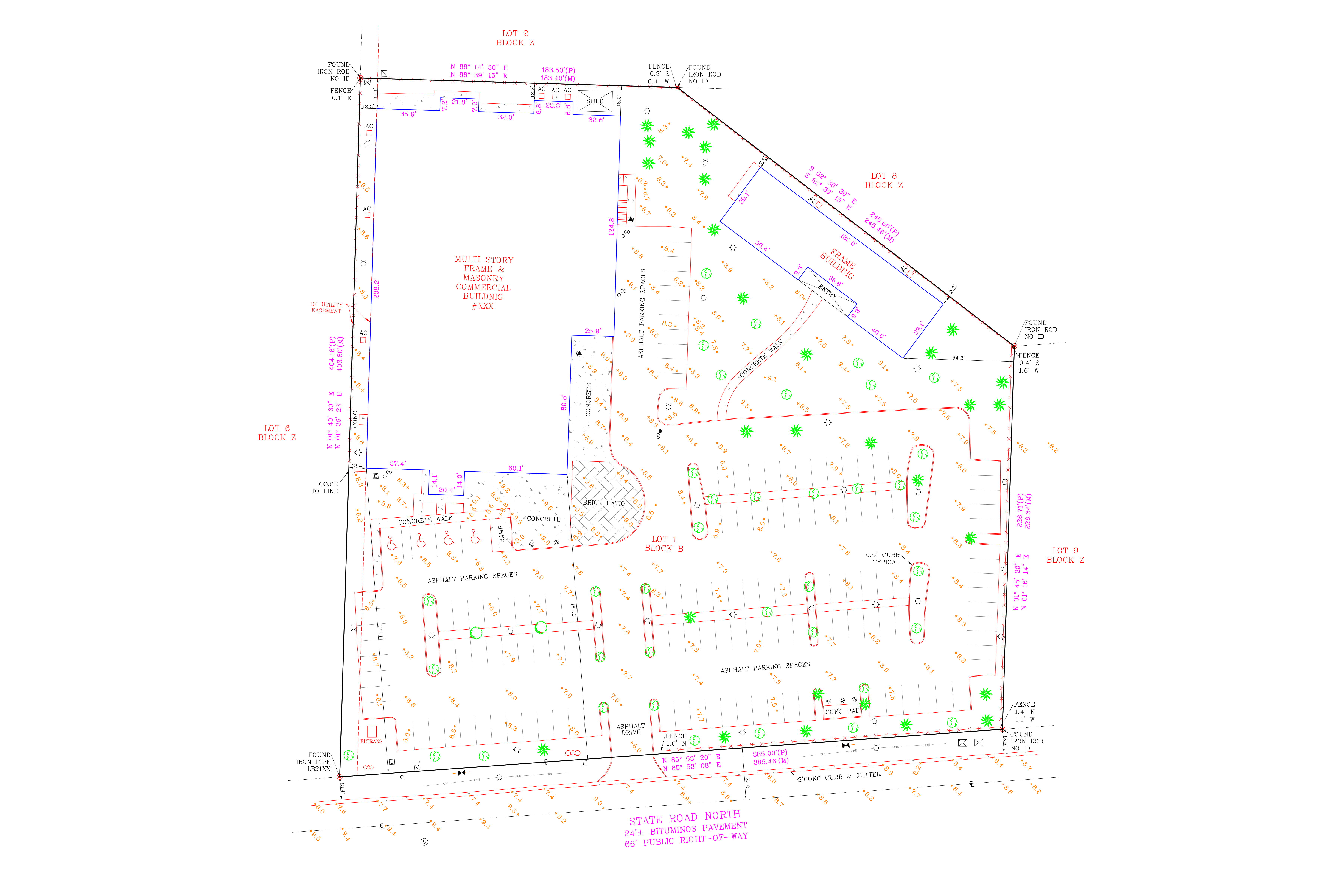
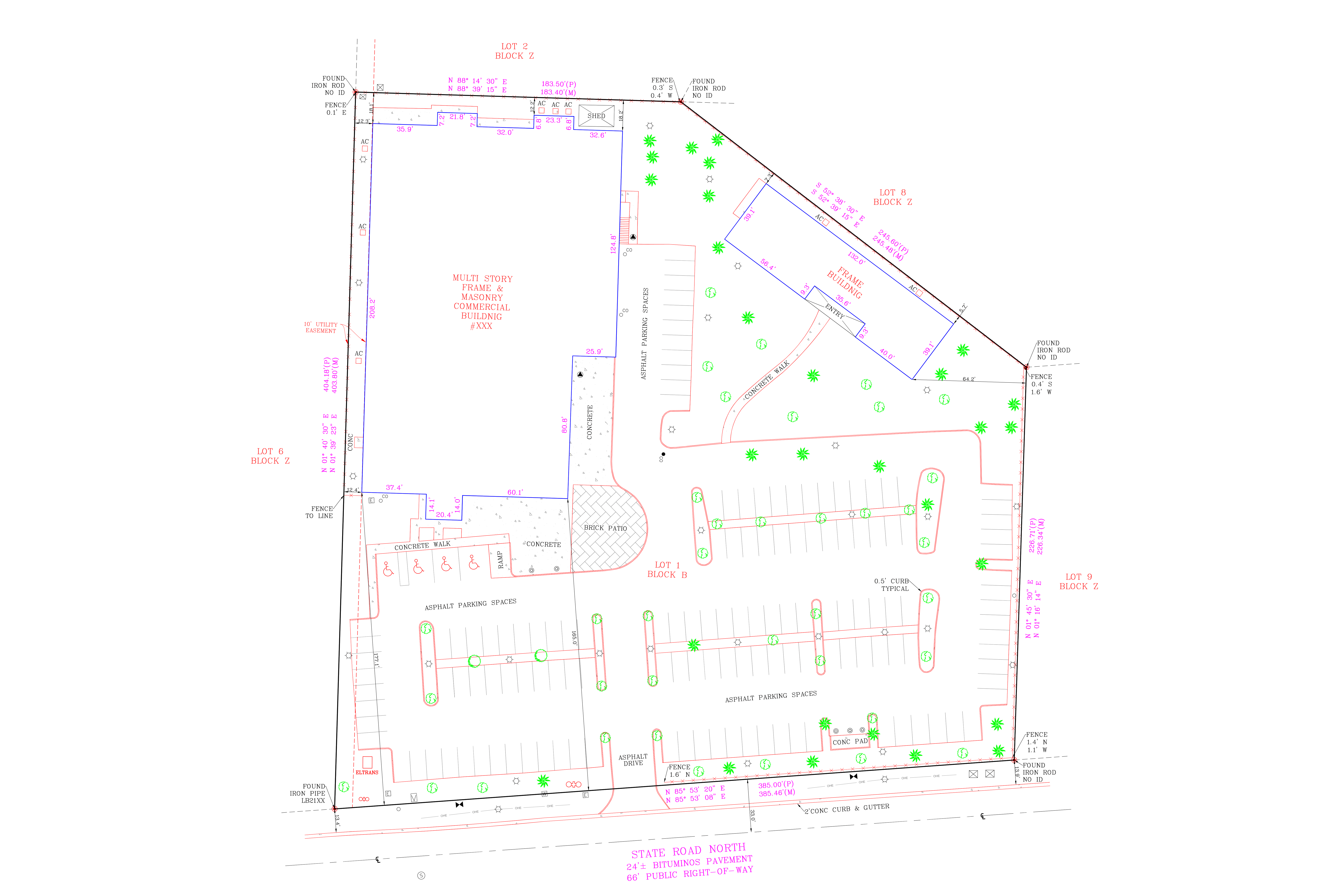
Test our team with 1 residential survey drawing at $0 Cost.
Send us your raw survey point codes (ASCII, CSV, TXT), field sketches, and CAD templates.
Our CAD experts map out coordinates, establish boundaries, and plot features according to your template standards.
A dedicated Quality Control surveyor cross-references drawings against standard regulatory checksheets.
Get high-precision production-ready files (.DWG, .DGN, and .PDF) directly inside your inbox or server.
Plats for homeowners, private developers, mortgage boundary closings, and parcel subdivisions.
High-complexity ALTA/NSPS maps for retail shopping plazas, malls, warehouses, and commercial leases.
Topographical models, contour designs, surface meshes, utility mapping, and corridor layout surveys.
Every surveying project is unique, but our custom algorithm provides an instant estimation for standard drafting support. Adjust the sliders below to calculate your rate immediately!
Choose between $15/Hour Dedicated CAD Drafting or Flat Rate Per Job for transparent, predictable project costs.
Survey firms sending more than 15 drawings per month qualify for dedicated volume discounts and custom subscription pricing.
Select parameters to project drafting cost
"ArcusCAD has completely transformed our operations. We submit our raw coordinate field point databases in the evening, and we wake up to high-quality completed DWG boundaries ready for stamp review. It has saved us thousands in drafting overhead."

"The precision of their ALTA/NSPS survey drafting is exemplary. They capture all Table A items and zoning requirements down to the millimeter. Our review loops have dropped by 80% since partner-shipping with them."

"Exceptional turnaround and communication. Their topographic models are flawless and import directly into civil 3D with clean surfaces. They are a true extension of our engineering office."

Join over 100+ surveying firms across the United States. Start with our no-obligation Free Trial drafting.
Claim Your Free Trial Drawing