+1 (888) 555-ARCUS info@arcuscad.com
Mon-Fri: 8:00 AM - 6:00 PM EST
Our Work

Precision Drafting Demonstrations

Explore samples of CAD maps we have drafted for land surveying firms. Toggle categories to filter by project type.

Client Confidentiality Note: All client names, coordinates, bearings, and location descriptions in these portfolio samples have been anonymized or redacted to protect client privacy.
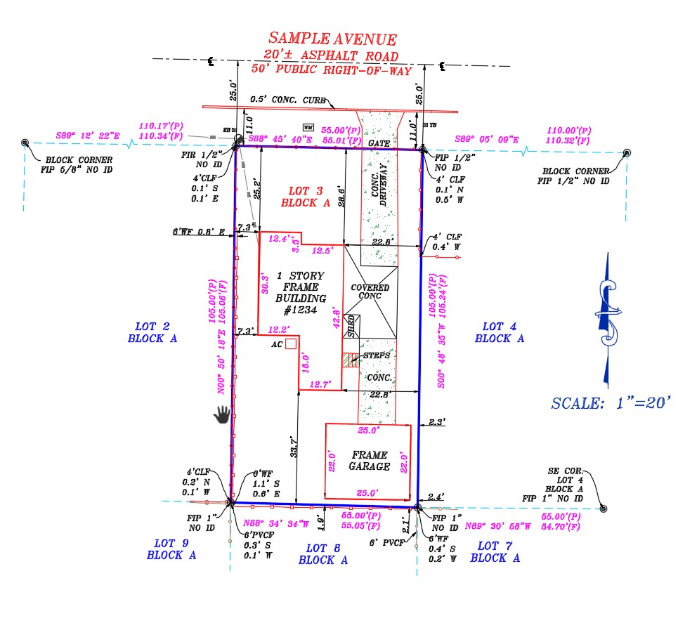
Boundary Survey Sample
Residential Subdivision Lot Plat

Detailed property lines, easements, building corners, and coordinate tables.

24h Turnaround Boundary
Residential Subdivision Lot Plat

Challenge: Conflicting monument pins. Resolved via deed closures analysis.
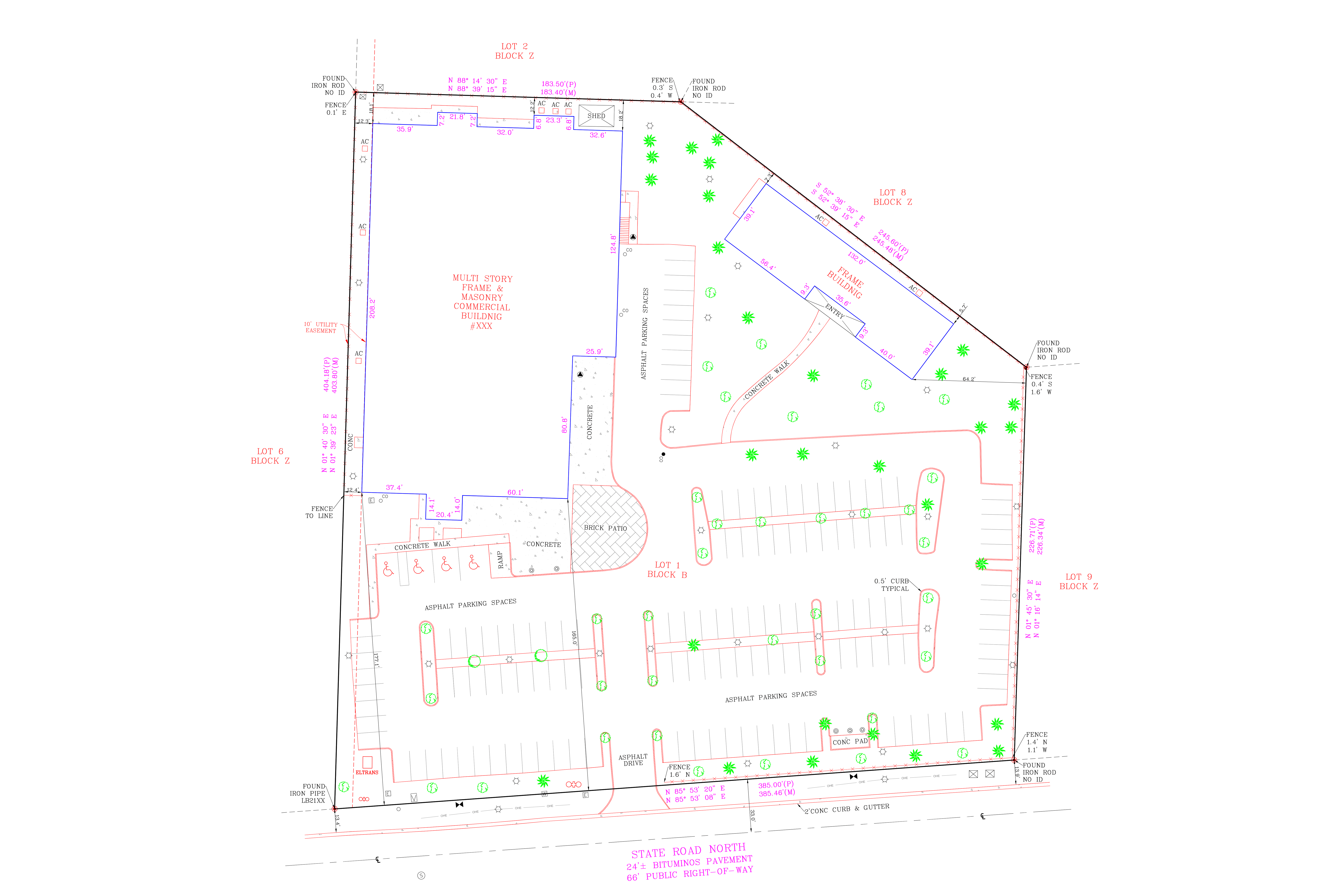
ALTA Survey Sample
Commercial Shopping Center ALTA

Plotting shopping plaza, parking spaces, access lanes, setbacks, and Schedule B exceptions.

48h Turnaround ALTA/NSPS
Commercial Shopping Center ALTA

Challenge: 22 easement exceptions mapped according to title papers.
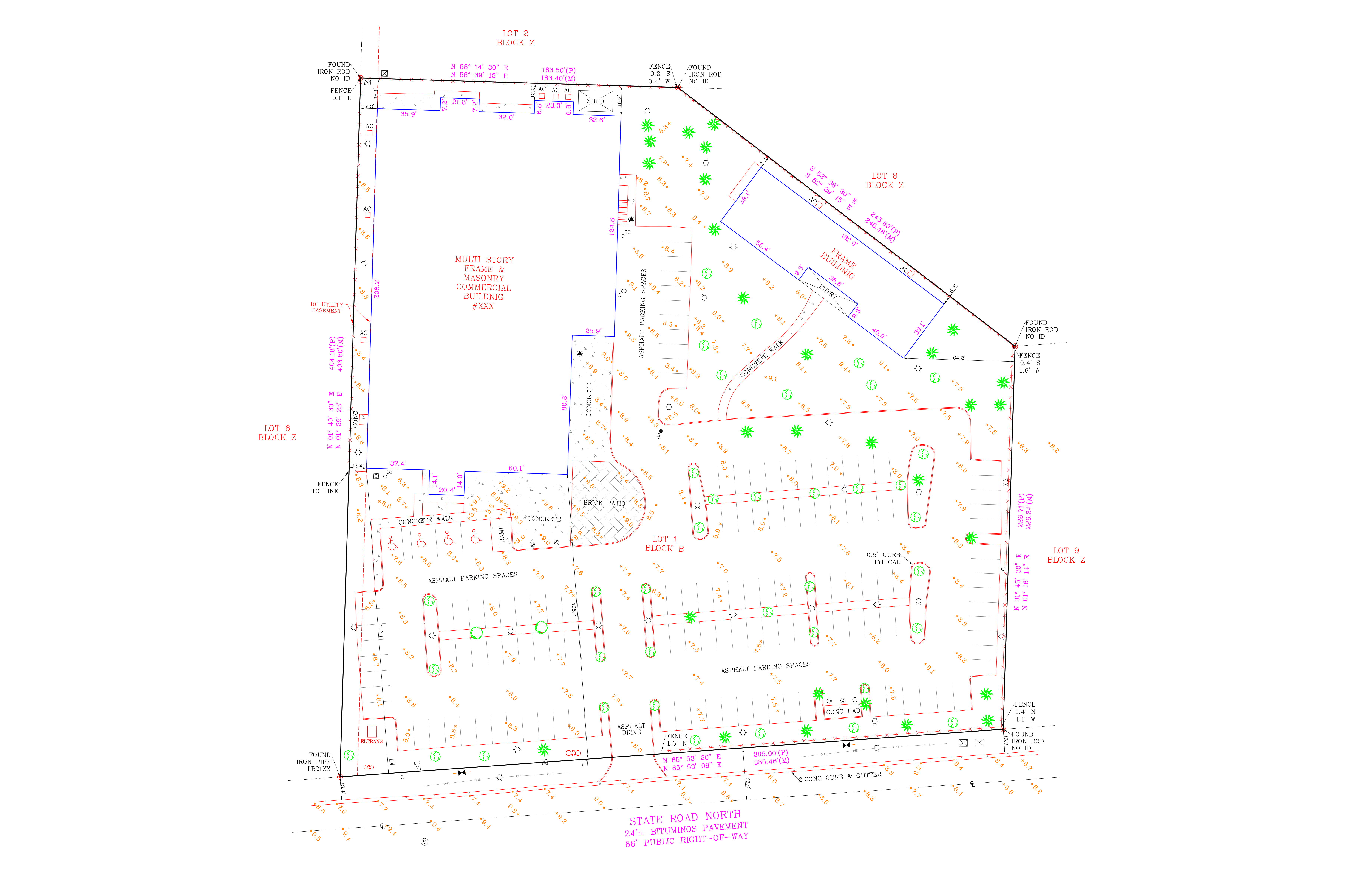
Topographic Sample
50-Acre Mountain Valley Topo

Civil 3D contour lines, spot elevations, surface TIN modeling, and water flow lines.

48h Turnaround Topographic
50-Acre Mountain Valley Topo

Challenge: 3D modeling on steep slopes with breaklines corrections.
Utility Sample
Urban Downtown Utility Grid (SUE)

Mapping gas lines, electrical conduits, optical fibers, and water mains with invert offsets.

72h Turnaround Utility Mapping
Urban Downtown Utility Grid (SUE)

Challenge: Complex clash analysis on overlapping conduits networks.

Boundary Sample
10-Lot Rural Division Plat

Drafting subdivision lines, access access road paths, utility corridors, and bearings table.

24h Turnaround Boundary
10-Lot Rural Division Plat

Challenge: Legal description generation from field points.

ALTA Sample
Industrial Warehouse Park ALTA

Complete land boundaries, shipping bays, dock alignments, and utility access pathways.

48h Turnaround ALTA/NSPS
Industrial Warehouse Park ALTA

Challenge: Complex railway right-of-way easement exception calculations.

ArcusCAD Asssitant
Online
Hello! I'm your ArcusCAD assistant. How can I help you stream-line your land surveying drafting workflow today?