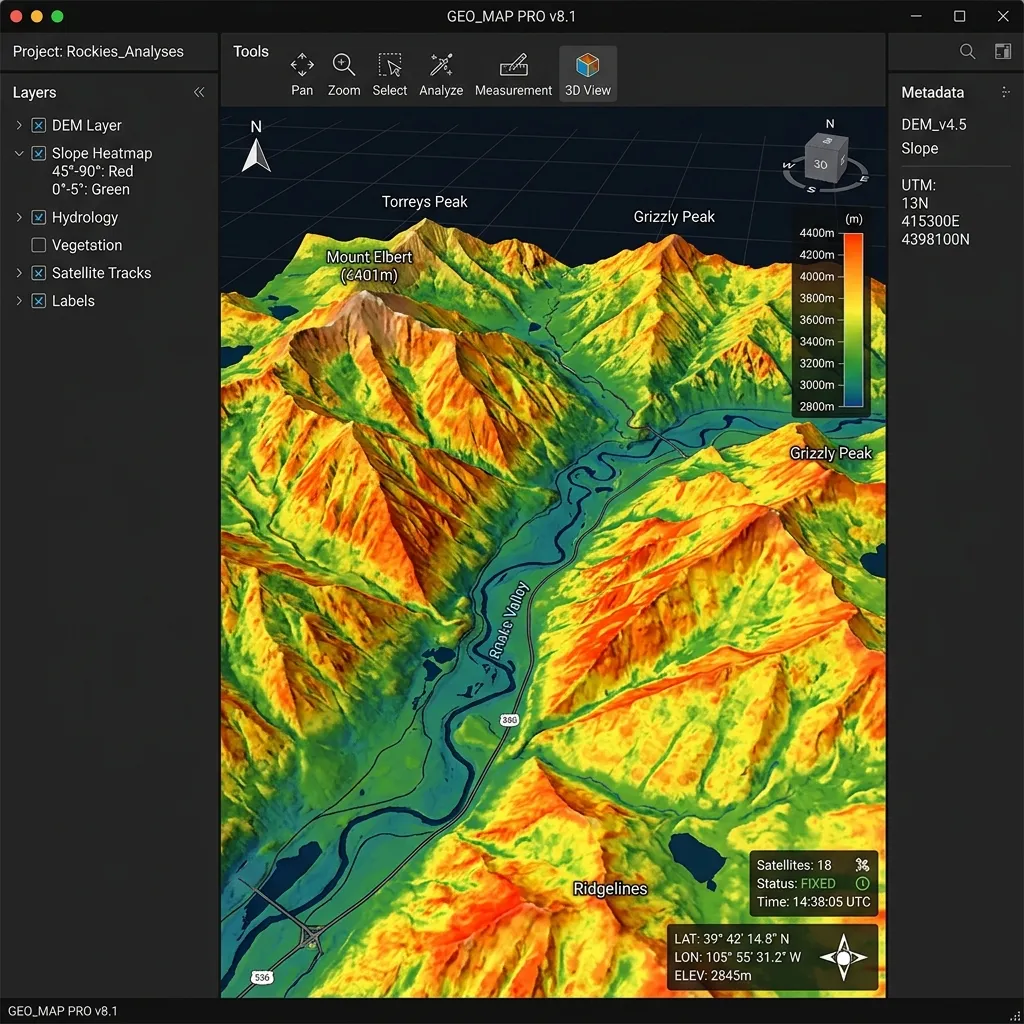
The surveying industry is changing rapidly due to new field capture technologies. Drones, laser scanners, and mobile GIS platforms are expanding capabilities.
While traditional total stations remain essential, modern firms use combined datasets to model terrains, map utilities, and design subdivisions.
Key Technological Shifts:
- Drone LiDAR Mapping: Airborne LiDAR systems capture millions of coordinates per second, providing dense canopy penetration and topographic details.
- 3D Point Cloud Processing: Processing terrestrial scanner scans into clean 3D surfaces and BIM structures.
- Geodatabase Integration: Linking CAD drawings directly into city GIS systems, enabling municipal departments to access utility and boundary layouts instantly.
How ArcusCAD Adapts:
We train our CAD specialists to process point clouds and georeferenced coordinates, converting raw geospatial data into high-precision, optimized vector formats.