Easement & ROW Mapping
Exhibit-quality easement and right-of-way documentation formatted for title recording and legal proceedings.
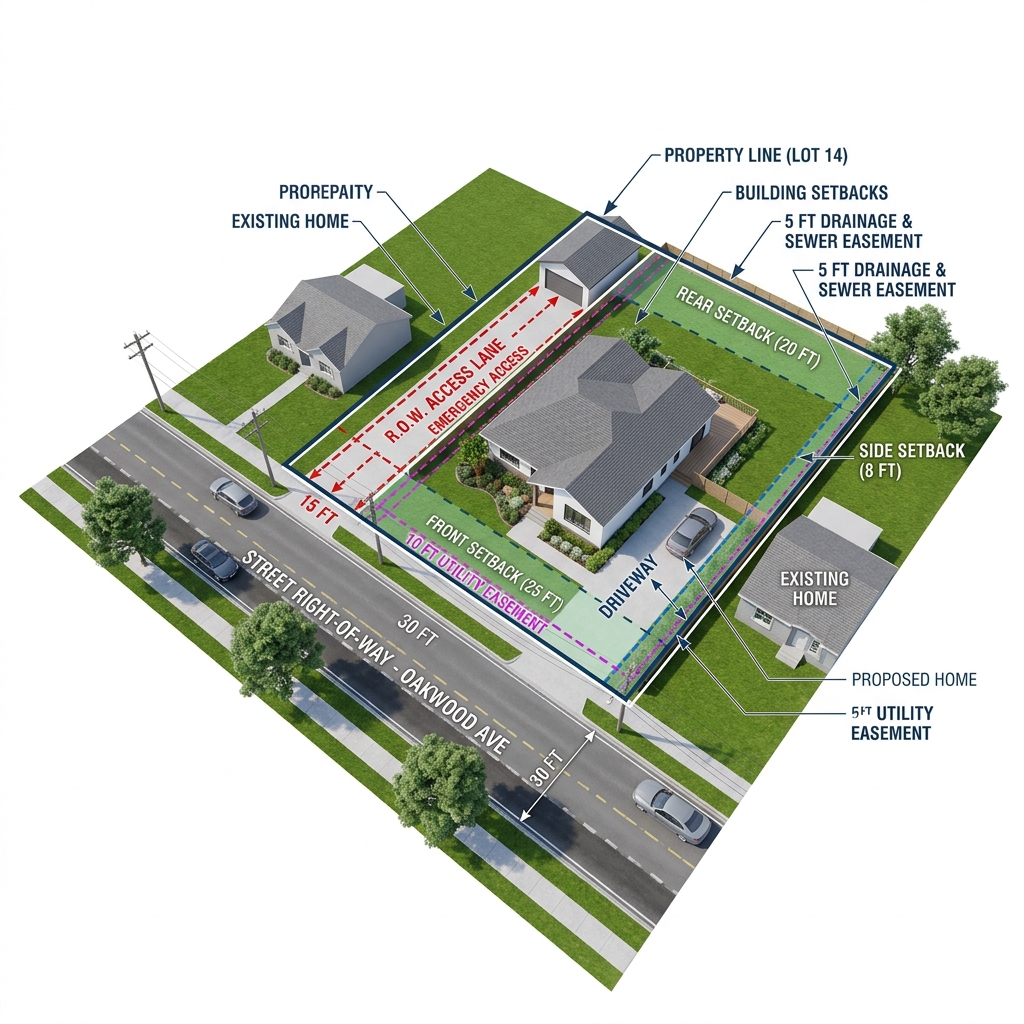
Exhibit-quality easement and right-of-way documentation formatted for title recording and legal proceedings.
Easement and right-of-way documentation operates at the intersection of survey precision and legal utility — used in property transactions, utility construction, condemnation proceedings, and deed recording where ambiguity carries financial and legal consequences. ArcusCAD produces easement and ROW drawings that are exhibit-quality, legally defensible, and formatted for the specific requirements of each engagement.
We map utility easement corridors, access rights-of-way, parent parcel remainders, and generate metes-and-bounds legal descriptions to help your team complete complex property transactions with confidence.
Contact UsSurveyors supporting utility companies, transportation agencies, title companies, real estate attorneys, and property owners in easement conveyance, acquisition, and recording.
Need professional easement exhibits drafted? Contact us for a precise overnight proposal.
Get a Free Proposal